10.5km
Distance
860m
Gain
6h
Time
About this Trail
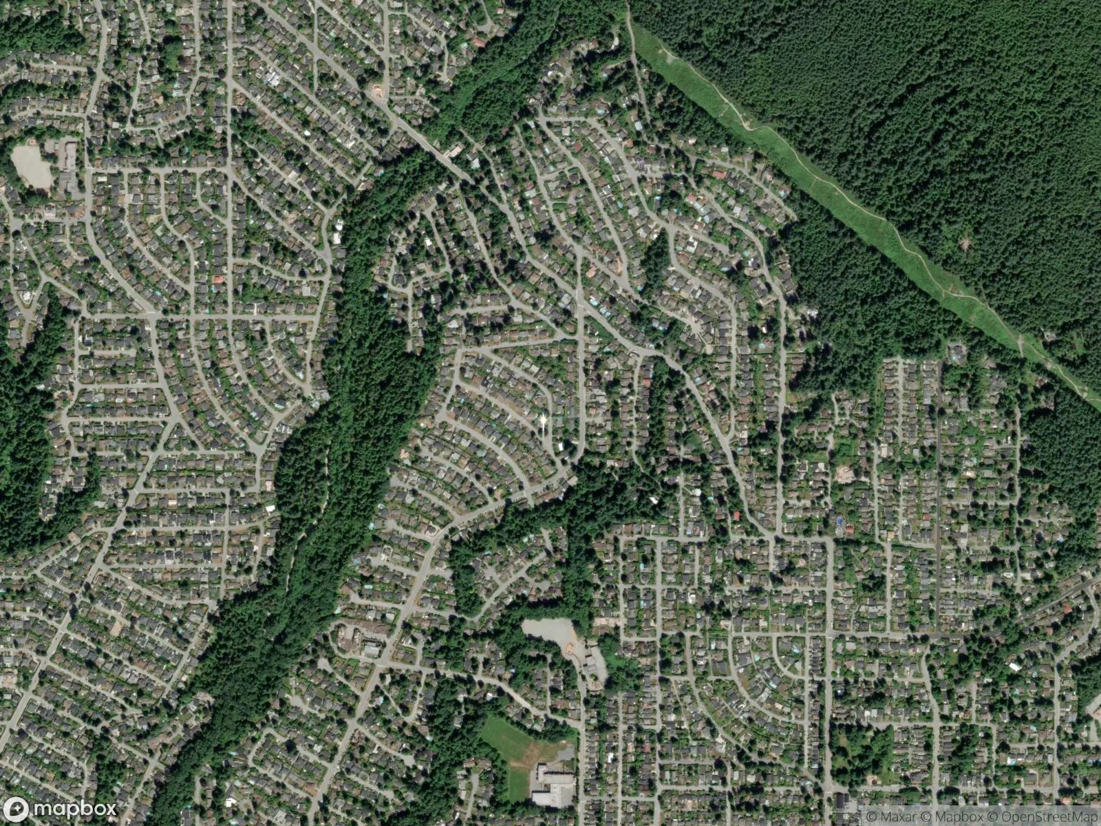
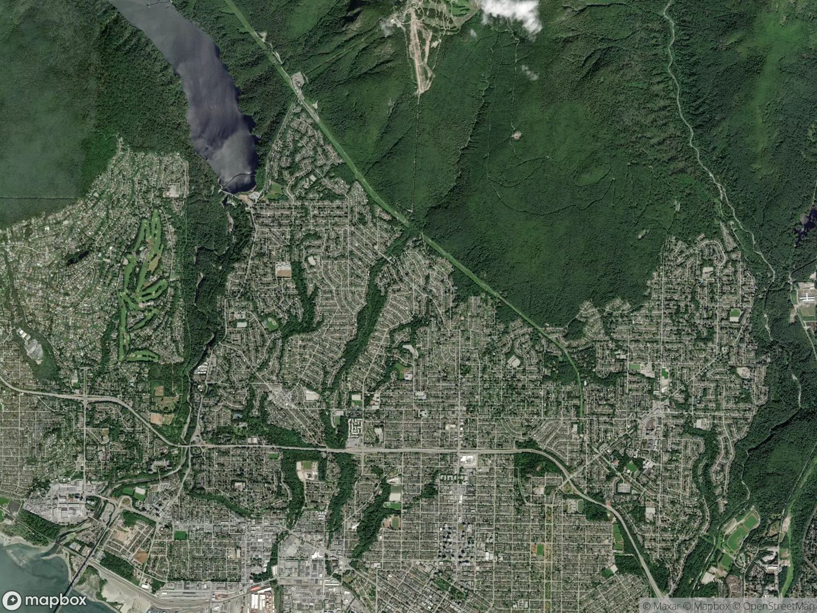
A 10.5 km round-trip summit hike to Mount Fromme (1,185 m) via the St. Georges Trail in North Vancouver. Features 860 m of sustained elevation gain through dense forest on steep, rooty terrain with summit viewpoints overlooking Vancouver and the Coast Mountains. Far less crowded than Grouse or Seymour, but GPS essential due to intersecting mountain bike trails.
Best Suited For
The Crowd
- 🔹Experienced Hikers
- 🔹Trail Runners
- 🔹Fitness Seekers
- 🔹Solo Hikers
- 🔹Mountain Bikers
The Occasion
- 🔹Summit Hike
- 🔹Fitness Workout
- 🔹Solo Adventure
- 🔹Training Hike
- 🔹Photography Outing
- 🔹Weekend Challenge
Highlights
-
860m elevation gain — one of the toughest North Shore day hikes
-
Deep forest climb through the mountain bike capital of the world
-
Summit views of Vancouver, Indian Arm, and the Coast Range
-
Far less crowded than Grouse, Seymour, or Cypress
Route Details
A steep forest hike ascending Mount Fromme via the St. Georges Trail. The route climbs through dense second-growth forest with extensive root networks and muddy sections. The mountain is crisscrossed with mountain bike trails that can cause navigational confusion — stay on the hiking trail and use a map. Upper sections include scrambling over rocks and roots. Two viewpoints near the summit reward the effort.
The Route
-
St. Georges trailhead km 0.0
330m elevation
-
Forest trail through mountain bike zone km 2.0
watch for route markings
-
Steep root section km 3.5
most technical climbing
-
First viewpoint / lookout km 4.5
-
Summit of Mount Fromme km 5.25
1,185m elevation
-
Return via same route km 10.5
Along the Way
Summit viewpoints with views of Vancouver, Burrard Inlet, and Coast Mountains
Dense forest with old-growth remnants
Interesting intersection with world-famous North Shore mountain bike trails
Meadow sections near summit in summer
Quiet and less crowded than Grouse or Seymour
Practical Tips
Best Times to Visit
Insider Tips
- 💡
Share the trail with mountain bikers — stay alert and yield to downhill riders
- 💡
The trail is less maintained than Grouse or Seymour — be prepared for route-finding
- 💡
Much quieter than other North Shore peaks — you may have the summit to yourself
What to Bring
Accessibility & Facilities
Snow at summit November-May.
Not Available
Not accessible. Steep, rooty, rocky terrain throughout with sustained climbing.
History
Mount Fromme (1,185m) is named after Julius Fromme, one of North Vancouver's first settlers. The mountain is famous worldwide for its mountain biking trails, but the hiking routes to the summit are far less known.
Source · dnv.org