8.5km
Distance
69m
Gain
2.5h
Time
About this Trail
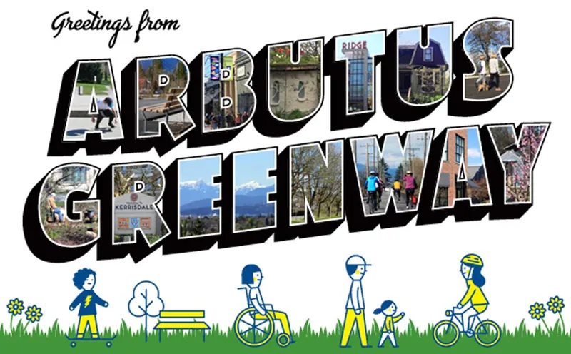
The Arbutus Greenway is a premier 9 km paved urban corridor running through five of Vancouver's most beautiful west side neighborhoods. Once a CP Rail line, it now features separated paths for pedestrians and cyclists, offering a safe and scenic transit route. It is a vibrant community space filled with public art and wildflower meadows.
Best Suited For
The Crowd
- 🔹Cyclists
- 🔹Joggers
- 🔹Families With Strollers
- 🐕Dog Walkers
- 🔹Commuters
- 🔹Wheelchair Users
- 🔹Art Enthusiasts
- 🧓Seniors
The Occasion
- 🔹Coffee Date
- 🔹Quick Catchup
- 🔹Working Lunch
- 🔹Pastry Run
Highlights
-
A 9 km paved greenway follows a historic rail corridor from Kitsilano to the Fraser River.
-
Features separated lanes for walkers and cyclists, passing through diverse urban neighborhoods.
-
Includes unique community projects like public art installations and urban orchards along the route.
-
The path is mostly flat and accessible, making it a premier destination for low-impact exercise.
Route Details
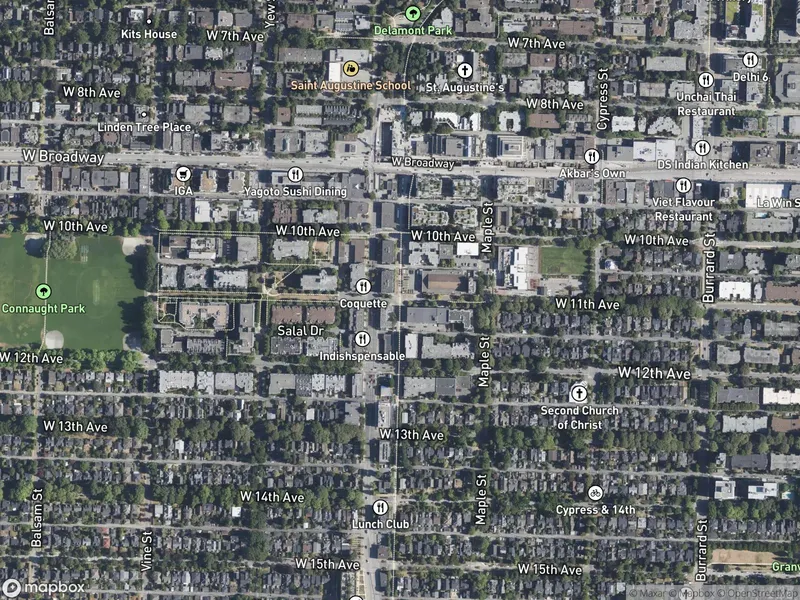
A flat-to-gentle paved greenway following the former CP Rail Arbutus corridor from False Creek south to the Fraser River. Separated paths keep pedestrians and cyclists apart. The route passes through diverse Vancouver neighbourhoods — Kitsilano, Arbutus Ridge, Shaughnessy, Kerrisdale, and Marpole — with community gardens, public art, wildflower plantings, and small parks along the way.
The Route
-
Fir Street / 6th Ave km 0.0
north trailhead, False Creek connection
-
West Broadway km 1.5
Kitsilano shops and cafes nearby
-
16th Avenue / Arbutus Village km 3.0
shopping, cafes
-
King Edward Ave / Quilchena Park km 4.5
park, playground
-
41st Avenue km 5.5
Kerrisdale village nearby
-
49th Avenue community garden section km 6.5
-
SW Marine Drive km 8.5
south end, Fraser River
Along the Way
Former CP Rail corridor — Vancouver's signature rail-trail conversion
Separated pedestrian and cycling paths throughout
Public art installations and murals
Community gardens and wildflower meadows
Passes through 5+ diverse Vancouver neighbourhoods
Connects to Seaside Greenway at False Creek (north end)
Neighbourhood pocket parks with seating and gathering spaces
Accessibility & Facilities
Not Available
Fully accessible. Paved surface, gentle grades (former rail corridor), and curb cuts at all road crossings.
Location
Getting Here
🚌 Transit
Excellent transit access. North end: Bus 2, 22 to Fir Street. South end: Bus 100 to Marine Drive. Canada Line Oakridge station is a short walk east. Multiple bus routes cross the greenway at Broadway, King Edward, 41st Avenue, and 49th Avenue.
🚗 Parking
No dedicated parking lots. Street parking available at various access points. Metered parking in Kitsilano and Kerrisdale areas; free residential street parking in quieter sections.