11.3km
Distance
340m
Gain
4h
Time
About this Trail
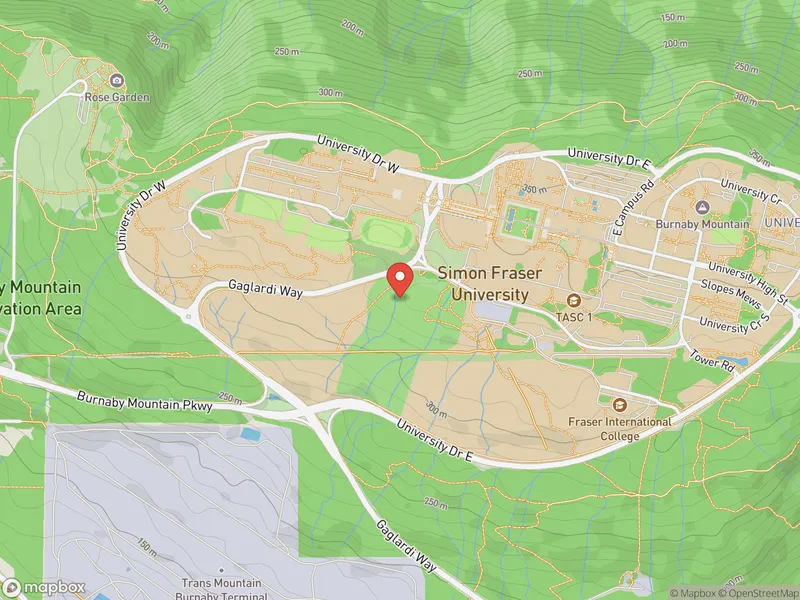
Burnaby Mountain Conservation Area is a 576-hectare temperate rainforest park with 26 trails covering 28 km, climbing to a 366m summit with panoramic views of Burrard Inlet. Features the Kamui Mintara Ainu totem poles, SFU campus, Horizons Restaurant, and abundant wildlife. Open daily 6 AM - 10 PM, free entry.
Highlights
-
340m elevation gain through old-growth forest remnants
-
Panoramic views from Burnaby Mountain summit lookout
-
Network of interconnected trails for different skill levels
-
Japanese carved poles (Kamui Mintara) at the summit viewpoint
Route Details
A large trail network on Burnaby Mountain with routes ranging from easy paved paths at the summit to challenging forest trails with steep grades and root-covered surfaces. The main loop climbs from the Takeda Drive parking area through temperate rainforest, ascending to the SFU campus and Burnaby Mountain Park at the summit before descending back. Multiple loop variations and connecting trails available.
The Route
-
Takeda Drive parking km 0.0
lower trailhead
-
Forest ascent through second-growth forest km 2.0
-
Trail junction / connector trails km 4.0
-
SFU campus area km 6.0
summit, 366m
-
Burnaby Mountain Park / totem poles km 7.0
viewpoint
-
Descent through forest trails km 9.0
-
Return to Takeda Drive km 11.3
Along the Way
Kamui Mintara (Playground of the Gods) — carved Ainu totem poles at summit
Panoramic views of Burrard Inlet, Indian Arm, and North Shore Mountains
SFU campus — brutalist architecture at the mountain summit
578 hectares of temperate rainforest with 34+ trails
Wildlife: blacktail deer, coyotes, bald eagles, occasional bears
Horizons Restaurant at the summit for post-hike dining
Connects to Trans Canada Trail
Practical Tips
Best Times to Visit
Insider Tips
- 💡
The Velodrome Trail is the most scenic route up
- 💡
Combine with Trans Canada Trail for a longer day
- 💡
Mountain bikers share some trails — stay alert
What to Bring
Accessibility & Facilities
Not Available
Not wheelchair accessible on forest trails. Paved paths near summit viewpoints and SFU campus are accessible.
History
The Burnaby Mountain Conservation Area protects 576 hectares of forest on and around Burnaby Mountain. It was established to preserve the ecological integrity of the mountain while providing recreation access.
Source · burnaby.ca
Location
Getting Here
🚌 Transit
Bus 144 and 145 to SFU campus at summit. Bus 136 to Burnaby Mountain base. Multiple access points reachable by transit.
🚗 Parking
Free parking at Mountain Air Bike Skills parking lot off Takeda Drive (main lower trailhead). Additional paid parking at SFU campus lots at the summit.