10.8km
Distance
610m
Gain
5h
Time
About this Trail
A demanding 10.8 km out-and-back trail climbing 610m through Pinecone Burke Provincial Park to a rocky bluff viewpoint at 932m overlooking Coquitlam Lake and the protected Metro Vancouver watershed. Panoramic views extend to Eagle Mountain, Vancouver, and the Strait of Georgia on clear days. Free admission, dogs on leash, GPS recommended.
Best Suited For
The Crowd
- 🔹Experienced Hikers
- 🔹Fitness Enthusiasts
- 📷Photographers
- 🌲Nature Lovers
- 🔹Trail Runners
- 🔹Peak Baggers
The Occasion
- 🏃Exercise
- 🔹Adventure
- 📷Photography
- 🔹Half Day Outing
- 🔹Challenge Hike
Highlights
-
Panoramic views of Coquitlam Lake and the surrounding mountains
-
610m elevation gain through dense coastal forest
-
One of the more challenging hikes in the Tri-Cities area
-
Remote feel despite being close to suburbia
Route Details
A demanding out-and-back through Pinecone Burke Provincial Park starting from the Harper Road gate. The trail follows old deactivated logging roads through second-growth forest, crosses multiple creeks on boulders, and ascends steeply through rocky terrain to a small bluff viewpoint overlooking Coquitlam Lake and the protected watershed. The final section is a steep scramble on rock to a narrow viewpoint that holds about 6 people.
The Route
-
Metal gate / Harper Road trailhead km 0.0, elev 324m
-
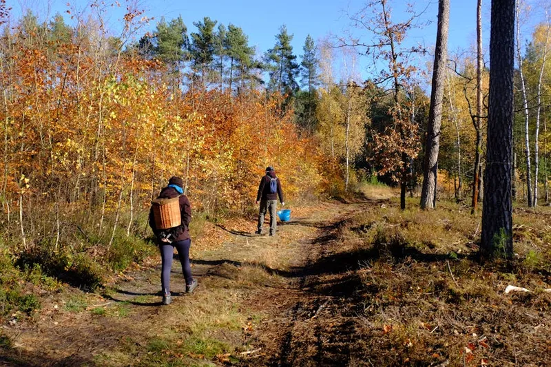
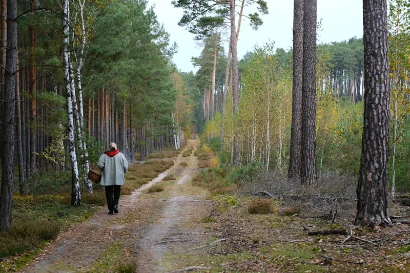
Deactivated logging road through forest km 0.5–2.0
-
Junction with Woodland Walk — stay RIGHT on upper road km 1.5
-
Powerline clearing with partial views km 3.0
-
Multiple creek crossings on boulders km 3.5–4.0
-
Junction with South Ridge Trail km 4.5
-
Steep final ascent — rocky scramble km 5.0
-
Rocky bluff viewpoint over Coquitlam Lake km 5.4, elev 932m
Along the Way
Panoramic views of Coquitlam Lake and the watershed from a rocky bluff
Views extending to Eagle Mountain, Tangled Summit, Mount Beautiful, and Dilly Dally Summit
On clear days, views reach to Vancouver, Burnaby, and the Strait of Georgia
Old-growth cedar stumps from early 1900s logging
Multiple creek crossings through second-growth forest
Part of Pinecone Burke Provincial Park
Practical Tips
Best Times to Visit
Insider Tips
- 💡
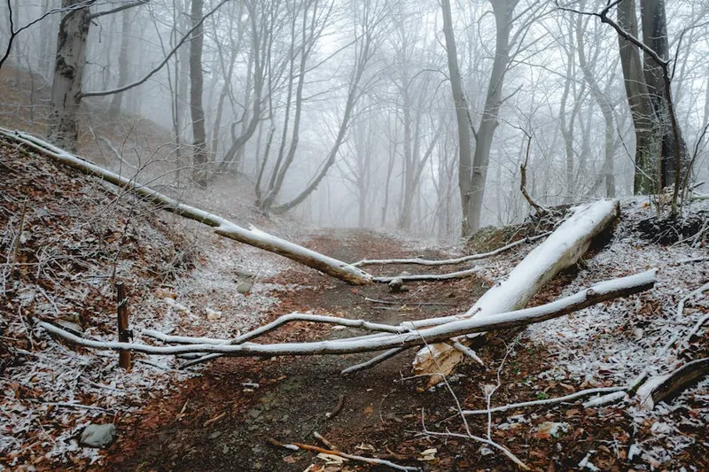
The trail is not well-marked in places — stay on the main path
- 💡
Bears are common — carry spray and make noise
- 💡
Much quieter than the popular Buntzen Lake trails nearby
What to Bring
Accessibility & Facilities
Creek crossings with boulder-hopping (high water in spring, icy in winter) — Winter access possible but microspikes essential for icy upper sections.
Not Available
Not accessible. Rocky terrain, steep grades, boulder creek crossings, and a scramble to the viewpoint.
History
The Coquitlam Lake View Trail climbs through the forest above the Coquitlam watershed to a viewpoint overlooking Coquitlam Lake, a critical drinking water reservoir for Metro Vancouver.
Source · metrovancouver.org
Location
Getting Here
🚌 Transit
Poor transit access. Nearest bus stop is 'David at Oxford' (stop #53803, routes 159/169/188), approximately 50-minute walk (3.3 km) to the trailhead. Driving is strongly recommended.
🚗 Parking
Free roadside parking along Harper Road near the metal gate trailhead. Do NOT park at the PoCo & District Hunting & Fishing Club (towing enforced). Fills quickly on weekends -- arrive before 8 AM.