4.5km
Distance
300m
Gain
3.5h
Time
About this Trail
A 4.2 km self-guided heritage loop on lower Hollyburn Mountain featuring the 1,100-year-old Hollyburn Fir, the 1916 Shields Log Dam, and Flume Pond. Interpretive signs tell the story of West Vancouver's early logging industry. Muddy and poorly signed in places but a rewarding hidden gem for history and nature lovers.
Best Suited For
The Crowd
- 🥾Hikers
- 🔹History Buffs
- 🌲Nature Lovers
- 📷Photographers
- 🔹Trail Runners
- 📍Locals
- 🔹Heritage Enthusiasts
The Occasion
- 🔹Photography Outing
- 🔹Solo Hike
- 🔹Educational Walk
- 🔹Quiet Forest Escape
Highlights
-
Deep forest ravine trail in West Vancouver
-
300m elevation gain through old-growth cedar groves
-
Waterfall viewpoints along Lawson Creek
-
Quiet and uncrowded — a local secret
Route Details
A heritage loop through lower Hollyburn Mountain's forest. The first 25% can be overgrown and muddy. The route passes the Shields Log Dam and Flume Pond (logging heritage from the early 1900s), then climbs to the massive 1,100-year-old Hollyburn Fir. Self-guided interpretive signs explain the area's logging and forestry history.
The Route
-
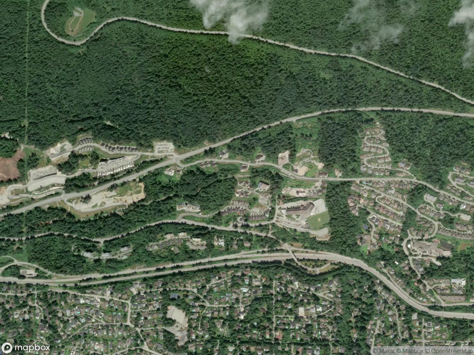
Pinecrest Bridge trailhead km 0.0
-
Overgrown/muddy section km 0.5–1.0
worst trail conditions
-
Shields Log Dam and Flume Pond km 2.0
heritage sites
-
1,100-year-old Hollyburn Fir km 3.0
massive old-growth tree
-
Return to Pinecrest Bridge km 4.5
Along the Way
1,100-year-old Hollyburn Fir — massive old-growth tree that survived logging
Shields Log Dam — historic logging heritage site
Flume Pond — remnant of early 1900s logging operations
Self-guided interpretive signs on forestry heritage
Dense forest canopy with ferns and moss
Practical Tips
Best Times to Visit
Insider Tips
- 💡
Muddy in rain — boots recommended
- 💡
Connect to Baden Powell Trail for a longer hike
What to Bring
Accessibility & Facilities
Very muddy in winter.
Not Available
Not wheelchair accessible. Trail surface is dirt, roots, and mud with no improved surfaces or boardwalks.
History
Lawson Creek Trails wind through one of West Vancouver's best-preserved forest ravines, managed by the District of West Vancouver parks department.
Source · westvancouver.ca
Location
Getting Here
🚌 Transit
Limited. Bus to West Vancouver upper levels, then walk to Pinecrest Drive. Most visitors drive.
🚗 Parking
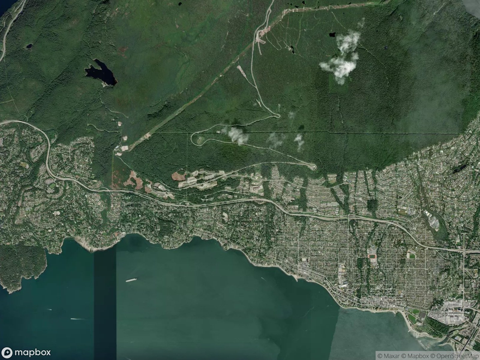
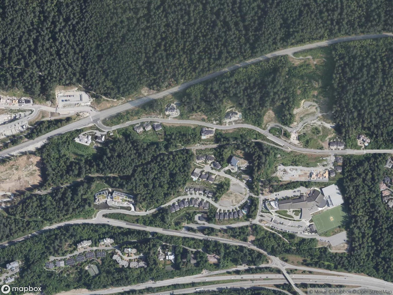
Free street parking on Pinecrest Drive at the trailhead. No dedicated parking lot. Trailhead is on the west side of Pinecrest Bridge at the top of Pinecrest Drive.