4.6km
Distance
213m
Gain
2.5h
Time
About this Trail
A 4.6 km out-and-back forested creek trail in North Vancouver following Mosquito Creek through a temperate rainforest canyon. Features a waterfall viewpoint, multiple bridge crossings, salmon habitat under active restoration, and an off-leash dog section. The lower portion is family-friendly gravel; the upper section is a moderate workout with roots and elevation.
Best Suited For
The Crowd
- 🔹Trail Runners
- 🐕Dog Walkers
- 🥾Hikers
- 🔹Families With Older Children
- 🔹Fitness Enthusiasts
- 🔹Nature Enthusiasts
The Occasion
- 🔹After Work Hike
- 🔹Morning Exercise
- 🔹Photography Outing
Highlights
-
Urban forest trail following Mosquito Creek through North Vancouver
-
Small waterfalls and creek pools in a ravine setting
-
Easy access from residential North Vancouver
-
Connects to the Baden Powell Trail for longer hikes
Route Details
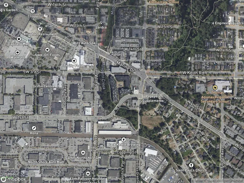
The trail follows the western bank of Mosquito Creek, climbing gradually from the lower residential area through a lush, forested creek canyon. The lower section (first 1 km) is a smooth gravel path suitable for families. The upper section becomes more rugged with roots, rocks, and steeper grades. Multiple benches and rest areas with viewpoints over the creek and a waterfall.
The Route
-
West 17th St trailhead km 0.0
lower end, parking
-
Lower creek bridges km 0.5
smooth gravel section
-
Waterfall viewpoint km 1.5
scenic highlight
-
Upper forest section km 2.0
roots, steeper grade
-
Palisade Drive turnaround km 2.3
upper end
Along the Way
Mosquito Creek waterfall viewpoint
Lush temperate rainforest canyon with ferns and moss
Creek crossings on bridges
Numerous benches and rest areas with creek views
Popular running trail with good footing
Connects to Bewicke area and Spirit Trail at lower end
Practical Tips
Best Times to Visit
Insider Tips
- 💡
Connects to Baden Powell Trail if you want a longer hike
- 💡
Can be muddy — boots recommended in rain
What to Bring
Accessibility & Facilities
Can be muddy after rain, especially in fall and winter.
Not Available
Not wheelchair accessible. The trail has roots, rocks, and steep grades, especially in the upper section.
History
Mosquito Creek Trail follows one of North Vancouver's urban creeks through a forested ravine. It's maintained by the District of North Vancouver as part of the greenway network.
Source · dnv.org
Location
Getting Here
🚌 Transit
Bus 239 or 246 to Lonsdale area, then walk to trailhead. SeaBus to Lonsdale Quay is also an option with a bus transfer.
🚗 Parking
Free street parking at West 17th Street trailhead (lower end). Additional street parking along Palisade Drive at the upper trailhead.