9km
Distance
719m
Gain
4.5h
Time
About this Trail
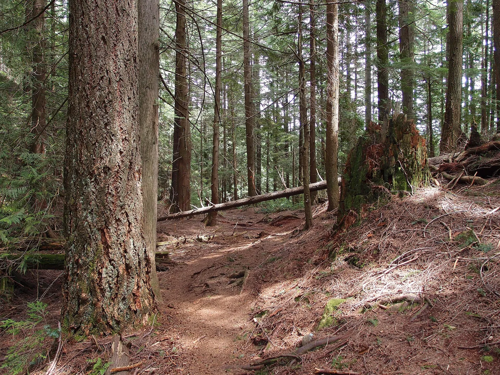
The Mount Gardner Trail offers a challenging ascent to the highest point on Bowen Island, providing panoramic views of the surrounding Salish Sea, Howe Sound, and the distant Coast Mountains. The trail primarily winds through dense, old-growth forest, characterized by towering Douglas firs and cedars, with sections featuring exposed roots and rocky terrain. As hikers gain elevation, the forest canopy occasionally opens, revealing glimpses of the expansive vistas to come. The summit area of Mount Gardner features multiple viewpoints, including a helipad and communications towers, which, while functional, do not detract significantly from the natural beauty. The varied terrain, from shaded forest paths to more open, rocky sections near the top, makes for an engaging and rewarding experience. This trail is a quintessential Bowen Island hike, popular for its accessibility and the stunning payoff at its peak.
Best Suited For
The Crowd
- 🔹Active Individuals
- 🌲Nature Lovers
- 📷Photographers
- 🔹Local Explorers
Highlights
-
Summit Views — Panoramic vistas of Howe Sound, Vancouver, and the Sunshine Coast
-
Old Growth Forest — Sections of ancient Douglas fir and cedar trees
-
North Summit — Secondary viewpoint with unique perspectives
-
Helipad — Open area at the summit offering clear views
Practical Tips
Insider Tips
- 💡
The trail can be muddy and slippery, especially after rain; wear appropriate footwear.
- 💡
There are multiple routes to the summit; research your preferred path before starting.
- 💡
Cell service can be intermittent on parts of the trail and at the summit.
What to Bring