
10.5km
Distance
520m
Gain
5h
Time
About this Trail
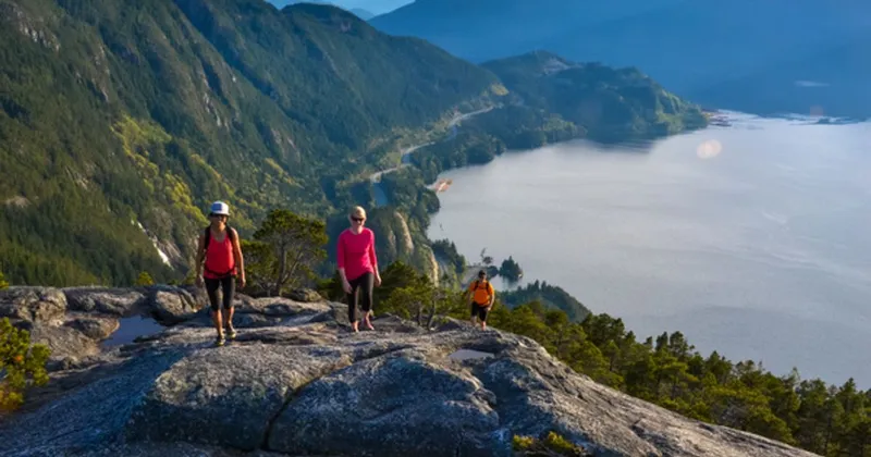
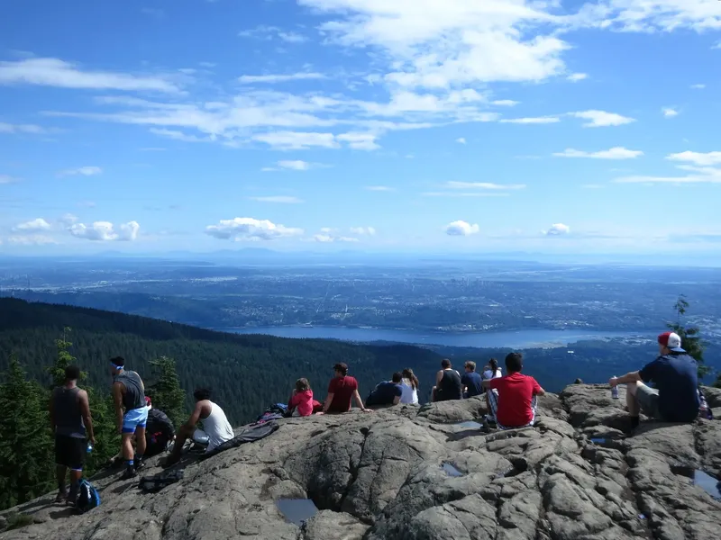
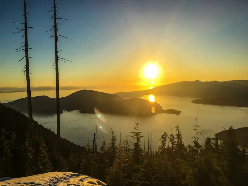
A rewarding 11 km round-trip summit hike in Cypress Provincial Park reaching 1,371 m with panoramic views of Howe Sound, Bowen Island, and the Gulf Islands. The first peak on the Howe Sound Crest Trail with no scrambling required.
Best Suited For
The Crowd
- 🔹Intermediate Hikers
- 🔹Trail Runners
- 📷Photographers
- 🌲Nature Lovers
- 🔹Fitness Enthusiasts
- 👥Groups
The Occasion
- 🔹Weekend Hike
- 🔹Photography Trip
- 🔹Summer Adventure
- 🔹Bucket List Hike
- 🔹Group Hike
Highlights
-
The crown jewel viewpoint of the Howe Sound Crest Trail
-
520m elevation gain to a panoramic summit overlooking Howe Sound
-
Views of Bowen Island, Gambier Island, and the Sunshine Coast
-
Starting point for the full Howe Sound Crest Trail thru-hike
Route Details
Begins with steep gravel switchbacks climbing out of the Cypress ski area into subalpine forest. The trail transitions to rooty, rocky terrain as it traverses ridgelines toward St. Mark's Summit. No scrambling or exposure on this section — the first safe summit on the Howe Sound Crest Trail. Stunning views of Howe Sound from the summit.
The Route
-
HSCT trailhead at Cypress km 0.0
-
Steep gravel switchbacks km 0.5–2.0
steepest section
-
Forest ridge trail km 3.0
terrain becomes rooty
-
Subalpine transition km 4.0
views begin to open
-
St. Mark's Summit km 5.25
1,371m, panoramic views
-
Return via same route km 10.5
Along the Way
St. Mark's Summit (1,371m) with Howe Sound panorama
Part of the famous Howe Sound Crest Trail
Views of Howe Sound, Gulf Islands, and Vancouver Island on clear days
No scrambling or exposure — a 'safe summit selfie spot'
Subalpine meadows and forest scenery
Practical Tips
Best Times to Visit
Insider Tips
- 💡
Snow on the trail until late June most years — check trip reports
- 💡
The last km is the steepest — save some energy
- 💡
Windproof layer essential at the summit — it's exposed
- 💡
If you want to extend, continue to Unnecessary Mountain (adds 2-3 hours)
What to Bring
Accessibility & Facilities
Winter conditions (November-May) bring snow, ice, and avalanche risk requiring experience and proper gear including traction devices.
Not Available
Not wheelchair accessible. Trail features steep gravel switchbacks, roots, rocks, and uneven terrain with significant elevation gain.
History
St. Mark's Summit is the first major viewpoint on the 29 km Howe Sound Crest Trail. The trail traverses the ridge between Cypress Bowl and Porteau Cove through some of the most dramatic alpine terrain near Vancouver.
Source · bcparks.ca
Location
Getting Here
🚌 Transit
Cypress Coach Lines shuttle from downtown Vancouver provides seasonal service to Cypress Mountain. No year-round public transit to the trailhead.
🚗 Parking
Pay parking at Cypress Mountain downhill ski area. The trailhead is at the northernmost parking lot. Take Highway 1 westbound, Exit 8 to Cypress Provincial Park, continue on Cypress Parkway to the downhill ski area lot.